Photos by Darryl, Linda and Randy - Track and Video by Randy
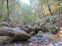
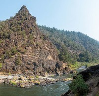
A Plan B hike turned out to be a little gem on the river. Poor air quality in Jackson county had us travelling to Josephine county for better air and a short hike down the Rogue to Rainie Falls for lunch.
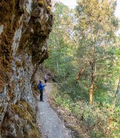
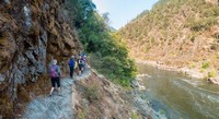
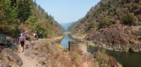
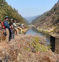
We arrived by 9:30 following our 8:00 AM start. The sky over the canyon was mostly blue with good to moderate air and a morning temp of 64 degrees. The trail is on the shady side of the river and you park off the road just before the bridge.
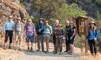
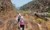
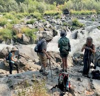
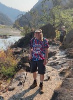
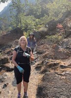
Most of our 10 hikers brought hiking poles to help negotiate the trail that was at times rocky and uneven.
It turned out that most of our party hadn't been on this hike before so it was a special treat for them.
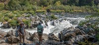
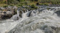
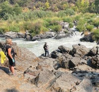
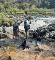
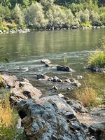
We got to Rainie Falls by 10:45 and had a leisurely lunch.
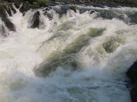
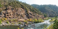
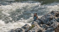
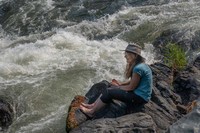
Liz was fascinated watching the salmon jumping up the 45 degree wash falls. She counted six fly by from her perch on a giant boulder. The rest were either soaking their feet in the Rogue, or watching the procession of rafts and blow up kayaks making their way down the river in front of us. Many rafts got stuck in the bypass channel on the farside of the river and the pilots struggled to loosen their crafts but all finally made it through.
A while after lunch, we explored the trail going down river past the Falls and found some beaches where the pilots put in their rafts and pick up families for a day's adventure on the Lower Rogue River.
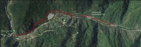
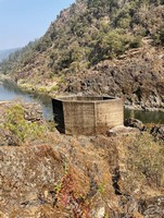
Randy and Linda decided to explore further down the rocky trail as their track will show. After chatting with some of the raft pilots, the rest of us headed back up the trail to the cars; watching more rafts shoot the rapids as we went.
When we got back to parking at 1:15 pm it was 86 degrees up away from the cool river. We had gone 5.1 miles with a gain of maybe 300'.
Next week, smoke and weather permitting, we'll head down to California for a terrific 8 mile hike on the PCT from Kangaroo Lake to Bull Lake.