What started as a sunny morning in Ashland became covered in a thick fog as we reached Grants Pass on our way to Bolt Mountain.
A misadventure with my GPS made us a half hour late in meeting those waiting for us at the TH. I had entered Bolt Mountain in the GPS, not realizing there was another option for the Bolt Mountain trailhead. So the three cars from Ashland went on a wild goose chase that put us up on another mountain, in a residential neighborhood, some 8.7 miles from the TH.
Thanks to Allison and her phone in the backseat, we were guided to Fish Hatchery Park and our friends waiting for us.
At least some of the fog had lifted during the delay.
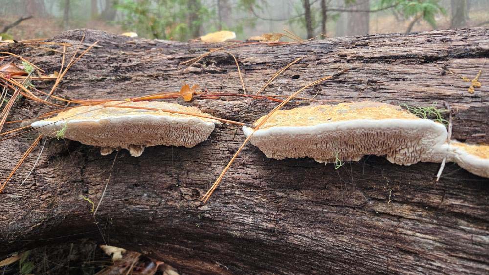
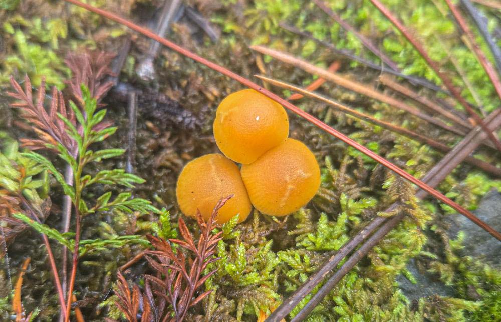
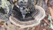
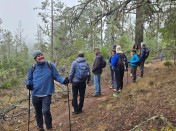
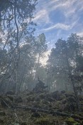
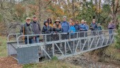
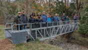
We were using a new TH down by the Applegate River, the trail led us through forests of green moss and yellow Fall leafs to a footbridge, which had been a US Navy gang plank. The trail through the forest at times disappeared because of the thick covering of fallen leafs.
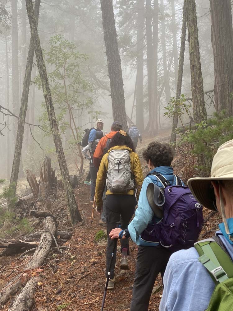
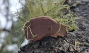
Then the Bolt Mountain Trail began to rise. At times, the trail was gentle and soft with a covering of pine needles, but then it would become rocky with the Serpentine, which made up most of the mountain.
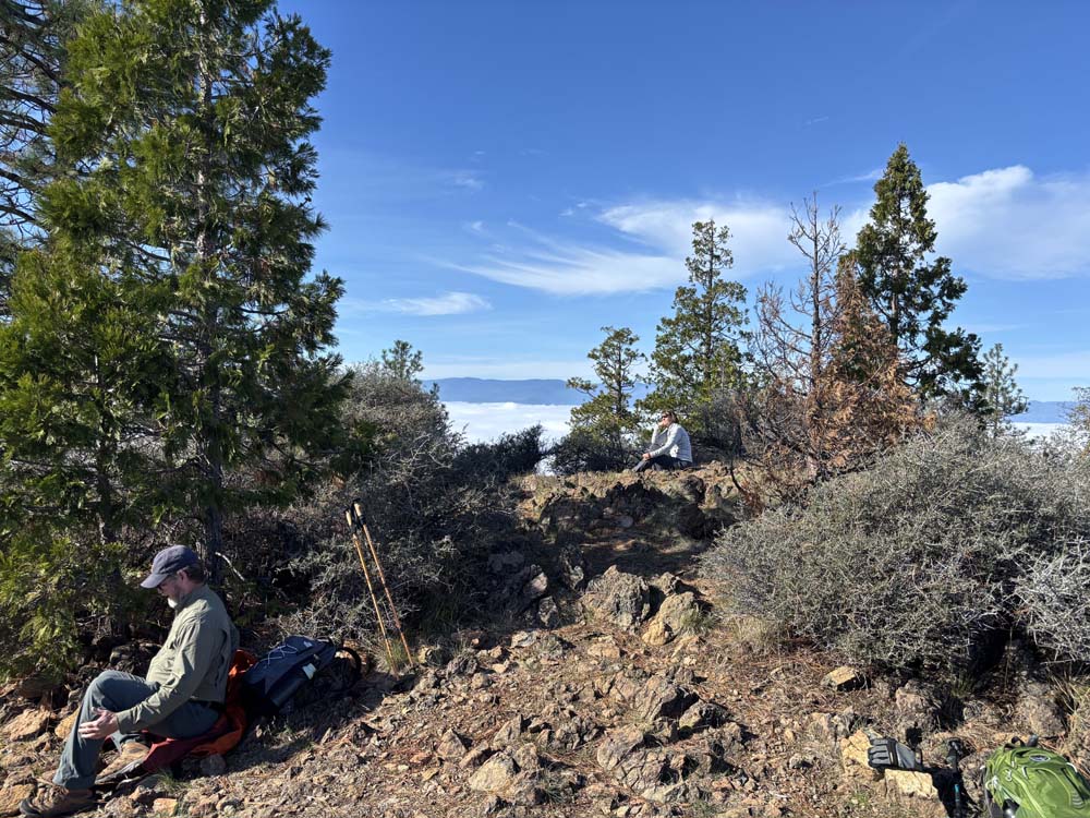
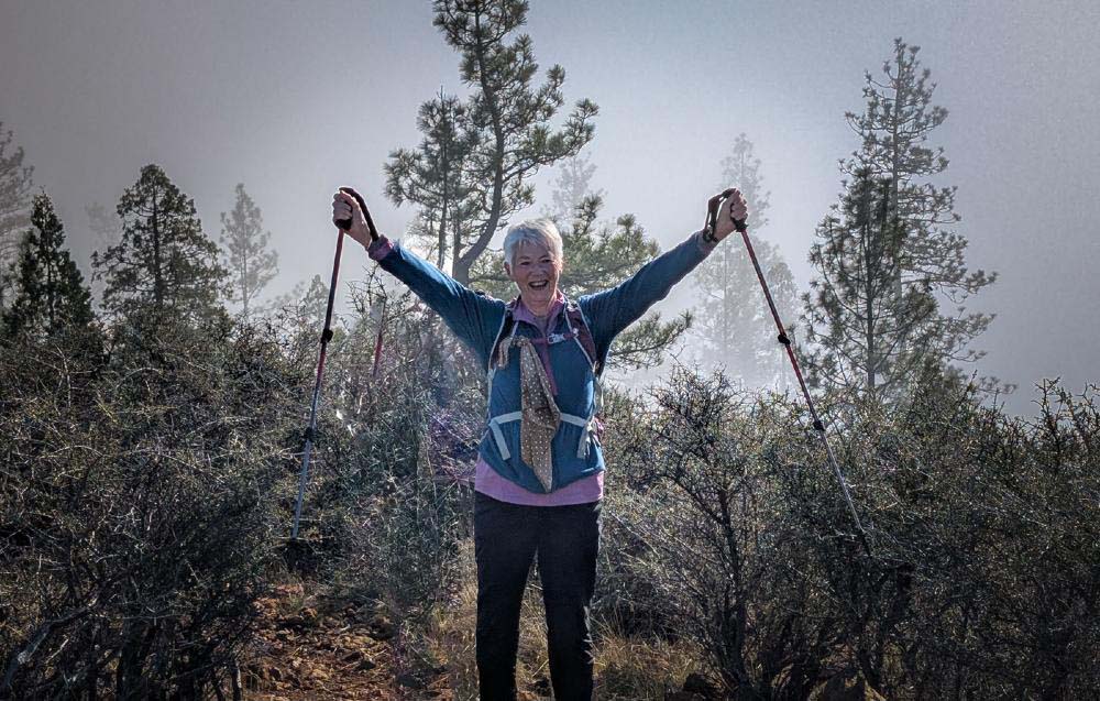
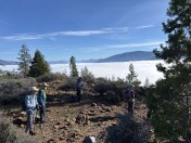
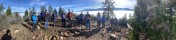
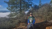
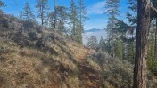
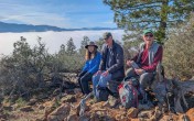
The fog remained thick as we went up 1,240' to the summit, but lightened in the last hundred feet to the rocky top. As we broke out into sunlight on top, we had an amazing view of the valley, totally enveloped in white fog!
We could see other mountain tops that looked like islands in a sea of fog, then realized we were on one of those islands! It was breathtaking!
Group photos were taken on top of our 16 hikers.
The Bolt Mountain Trail from the parking to the top is 3.3 miles, so 6.6 miles RT. The TH is at 1,000' and the summit is 2,240', so 1,240' of gain.
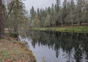
Posthike, our car took a leisurely drive south down Highway 238 through the Applegate Valley to view the wonderful Fall Colors.
Happy Trails,
Rich
-
20251110_105756
-
image001

-
image002

-
image003

-
IMG_4820

-
IMG_4821

-
IMG_4824
-
IMG_5233

-
IMG_5237
-
PXL_20251110_205751087

-
20251110_105813
-
20251110_105825
-
20251110_111013

-
20251110_112205

-
20251110_121909

-
20251110_123809

-
20251110_124048

-
20251110_125409

-
20251110_125955
-
20251110_130344

-
20251110_130503

-
20251110_130829

-
20251110_131232-2

-
20251110_131539
-
20251110_132022

-
20251110_132208
-
20251110_132552
-
20251110_132624

-
20251110_133009

-
20251110_140532
-
20251110_142128

-
1000075599

-
1000075605

-
1000075611

-
1000075622

-
Group
-
PXL_20251110_171409716
-
PXL_20251110_171950293.MP

-
PXL_20251110_173425517.MP

-
PXL_20251110_181731035.MP

-
PXL_20251110_183910669
-
PXL_20251110_202029090.MP-Edit

-
PXL_20251110_202203861
-
PXL_20251110_205029454